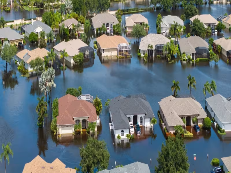
ROCHESTER, N.Y. – October 27, 2026 -- Eagleview told emergency managers that a below-average 2026 Atlantic hurricane season does not mean low risk, pointing to 1992, when six named storms still produced Hurricane Andrew and $27.3 billion in damage. The geospatial intelligence (GeoAI) provider issued a preparedness briefing after NOAA, Colorado State University and AccuWeather all projected a below-average season.
Andrew destroyed more than 63,000 homes in one of the quietest seasons on record
The 1992 season's six named storms compare with a 30-year average of 14.4. Andrew, a Category 5 storm, destroyed more than 63,000 homes in South Florida. Eagleview puts the damage at about $67 billion in 2026 dollars.
Robert Locke, President of Eagleview's Government business unit, said, "It only takes one storm to create a catastrophe." He added that the agencies responding best are those that prepared before the first advisory.
Three factors make a 2026 landfall more consequential than a comparable storm decades ago
Eagleview cites research in Nature Communications and the Bulletin of the American Meteorological Society documenting a significant rise in rapid intensification events since the 1980s. These are defined as a gain of 35+ mph in sustained winds within 24 hours. A tropical storm at 8 AM can become a major hurricane by the next morning, compressing warning timelines for coastal communities.
NOAA tide gauge data show mean sea level along U.S. Gulf and Atlantic coasts has risen over recent decades. Eagleview says a Category 2 hurricane in 2026 can produce surge impacts equivalent to a Category 3 in 1990.
NOAA data also show U.S. coastal county populations have grown substantially since 1970. More people, structures and critical infrastructure now sit in hurricane-vulnerable zones.
Eagleview pre-positions aerial capture assets to deliver post-storm imagery within days
Eagleview says it maintains the most comprehensive library of high-resolution aerial imagery in the United States and Canada. The library covers 96% of the U.S. population with multi-angle oblique and orthogonal captures. Emergency managers can use it as a pre-event baseline for change detection after a storm.
The company's Weather Team monitors tropical development through the season and coordinates with its Disaster Response Team to pre-position capture assets ahead of anticipated impact zones. Post-event imagery is typically delivered to clients within days of landfall.
AI-powered damage classification compares pre- and post-storm imagery side by side at scale. Eagleview says this supports Preliminary Damage Assessment (PDA) workflows, FEMA Public Assistance documentation and resource allocation decisions.
Emergency managers can contact Eagleview's Disaster Response Program to arrange pre-disaster agreements for rapid post-event imagery and analytics.